Asia-Pacific navies thirst for hydrographic data
Add bookmarkSoutheast Asian navies require blue water data but funding survey assets is a hard bargain
Many nations in and around the South China Sea rely heavily on their Blue Economy to sustain growth and development. The local fishing industry, as one example, gleans crucial benefits from understanding what lies beneath the waves, while the mapping of currents and tides can offer important insight for commercial vessels transiting through the area. When economic development thrives, defence and security matters improve – a natural result of increased investment.
However, without strong growth, the inverse is true and many of the nations in question remain in a state of restricted spending. This is all the more problematic for this region in particular as it continues to be blighted by multilateral territorial disputes. China and Japan have increased their maritime military activity and the push for area denial – navies placing mines, submarines, patrol sorties or even new islands in strategic locations in anticipation of future warfare – has fuelled tensions across the board.
SEE ALSO: Incompatible systems 'key shortfall' for maritime analysts
More data of the ocean can therefore prove a game-changer for both security and development matters. The problem for most nations is a lack of available resources. When defence budgets are low, arguing the case for specialist survey vessels – assets that are not traditionally seen as urgent military requirements – is a daunting prospect.
“Today, hydrography is more important than ever,” said Vice Admiral Charin Boonmah, director general of the Royal Thai Navy Hydrographic Department, at a recent Defence IQ forum.
“We’re having to prepare for the possibility of war but it is a struggle to fulfil our commitment for both the Navy and for civilian organisations when it comes to securing this data. Because we are not a rich nation, it all comes down to prioritising the budget.”
Thailand has already invested in a number of tools and initiatives to map the waters, including CTD (Conductivity, Temperature and Depth), XBTs (eXpendably BathyThermographs), Valeport ocean current meters, and ADCPs (Acoustic Doppler current profilers). At present, a vast grid of surveying stations exist across the Gulf of Thailand and off the nation’s west coast, with reports shared with naval vessels through private-access websites.
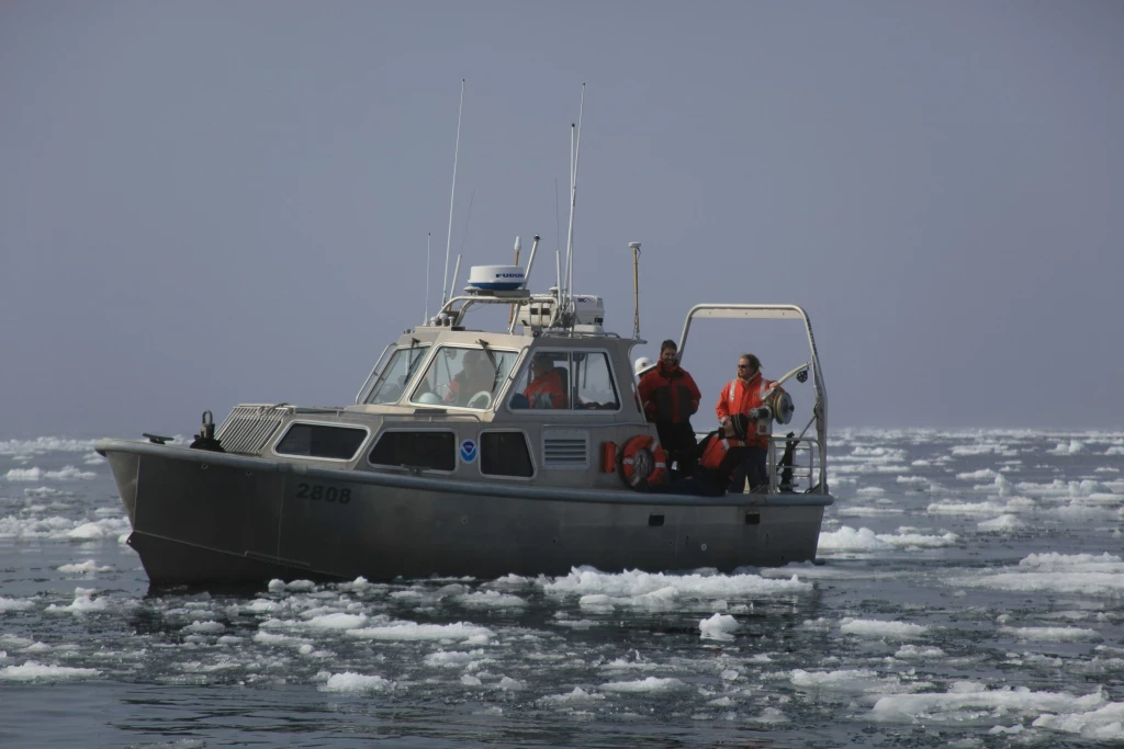
That aside, only two ships are currently being used to deliver the most robust level of information: the HTMS Suk and HTMS Paruehasabordee. The former has been in service for over thirty years and is nearing the end of its lifespan. The latter is on constant hydrographic duty, leaving it no time to undertake other missions or types of surveying (such as oceanographic).
While the country’s defence budget saw a two per cent increase in 2017, the economy has yet to regain traction since an army coup in 2014 ended months of political turmoil. Therefore the timeframe that Thailand has outlined to develop its survey plans – namely, ‘harmonising’ hydrographic and oceanographic activity, acquiring a new high capability survey vessel and establishing an interoperable system to share blue water data between the Navy and maritime agencies by 2021 – is at risk of falling to the wayside.
“We need the Navy to approve new equipment before we can do anything else,” said Boonmah, “and we also have to develop the methodology to conduct hydrographic surveys by looking towards other navies around the world to learn how hydrographic departments can support our operational needs. It’s quite a challenge.”
Malaysia is in an even more precarious position. Amid naval budget cuts and an ageing fleet, the Navy has decided to embark on the ’15 to 5’ programme, which will see the fleet reduced from fifteen classes of vessel to just five: Littoral Mission Ships (LMS); Multi-Support Ships; Littoral Combat Ships; New Generation Patrol Vessels; and submarines. Research vessels no longer factor.
This has forced the service to begin outsourcing its oceano/hydrographic capabilities for the coming years. The concept in place sees a private firm awarded a three-year contract to field a catamaran and crew to undertake research at a depth of 50-1,000m, covering 18,000km2 in each year.
In line with its rigid dedication to cutting costs, fulfilment of this contract is performance-based, meaning the Navy will refuse to pay the contractors for any time spent at sea that has not resulted in a required amount of ‘quality’ data. In addition to this initiative, a detachable mission container is to be added to the LMS to gather data while the vessel is undertaking other tasks.
“We believe outsourcing is the best solution for our situation,” explained First Admiral Hanafiah bin Hassan, the Malaysian Navy’s deputy chief hydrographer.
“Many may wonder why we haven’t opted to just buy the data, but we trust that our approach will transfer the risk, will equip us with the knowledge of how to undertake hydrographic surveys and, presently, there are no research vessels operating across our full theatre of operations. So outsourcing is our long-term plan.”
Malaysia now has a schedule to complete multibeam mapping of all of its sovereign waters by 2050. Yet there remain some in the Navy who would rather divorce the capability altogether and leave the responsibility in the hands (and budget) of the government’s Marine Department. A final direction will therefore be made only after 2018’s general election.
[inlinead]
Indonesia is also looking at the possibility of spreading its survey duties to other marine departments as it looks to fulfil its maritime policy to develop new infrastructure and connectivity. Lying between the Indian and Pacific Oceans, the country oversees 2,280 ships through the Sundra Streit each year and has so far been able to produce over 500 charts of its waters by deploying nine vessels for survey tasks.
But unlike their Malaysian counterparts, the Indonesian Navy plans to acquire more research vessels. This includes proposals for up to seven more manned vessels for coastal and deep sea duties, as well as autonomous underwater vehicles that could be purposed for the role given that several were acquired by Indonesia in 2016 and completed trials in May 2017.
“Because of high demand, we are also developing a dedicated hydrography data centre for all government and military agencies to exploit,” said Commodore Dr Ir. Trismadi, deputy chief hydrographer at the Indonesian Navy.
“This information is not just for navigation – it would be used for maritime defence and geospatial intelligence, while public services benefit from open data to inform environment issues, integration of coastal management, exploration of marine resources, and more.”
The unifying ambition in the region is therefore to ‘share the load’ wherever possible in a world of increasing data volume and analysis.
However, the question remains over whether senior leaders will heed these demands and project survey vessels as more than a ‘nice to have’ capability or whether they will sink below the surface until local economies enter more stable times.
Either way, we are likely to see a uniform surge in effort to engineer greater partnerships with commercial and government parties dealing with maritime data. The security of these nations may depend on it.


